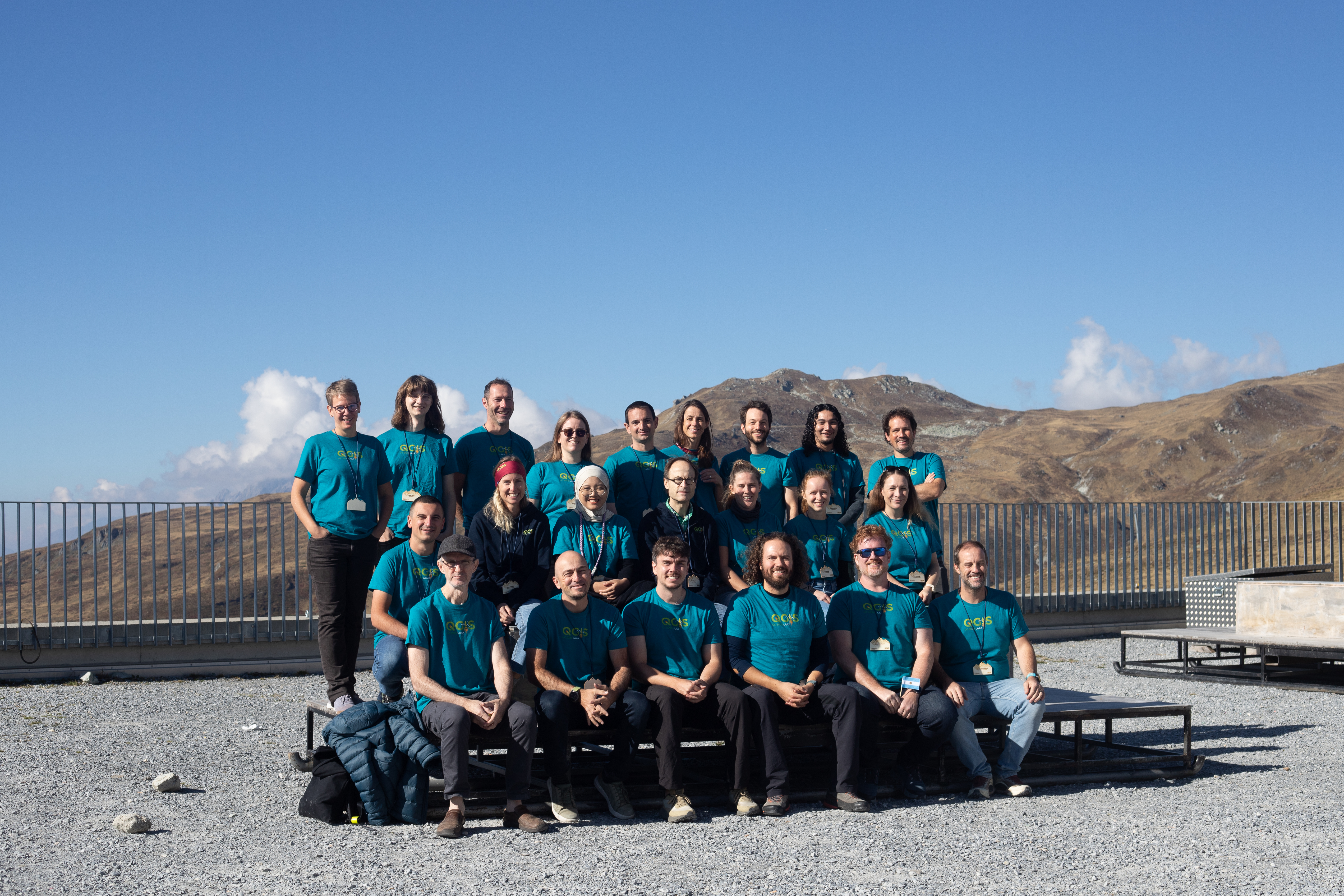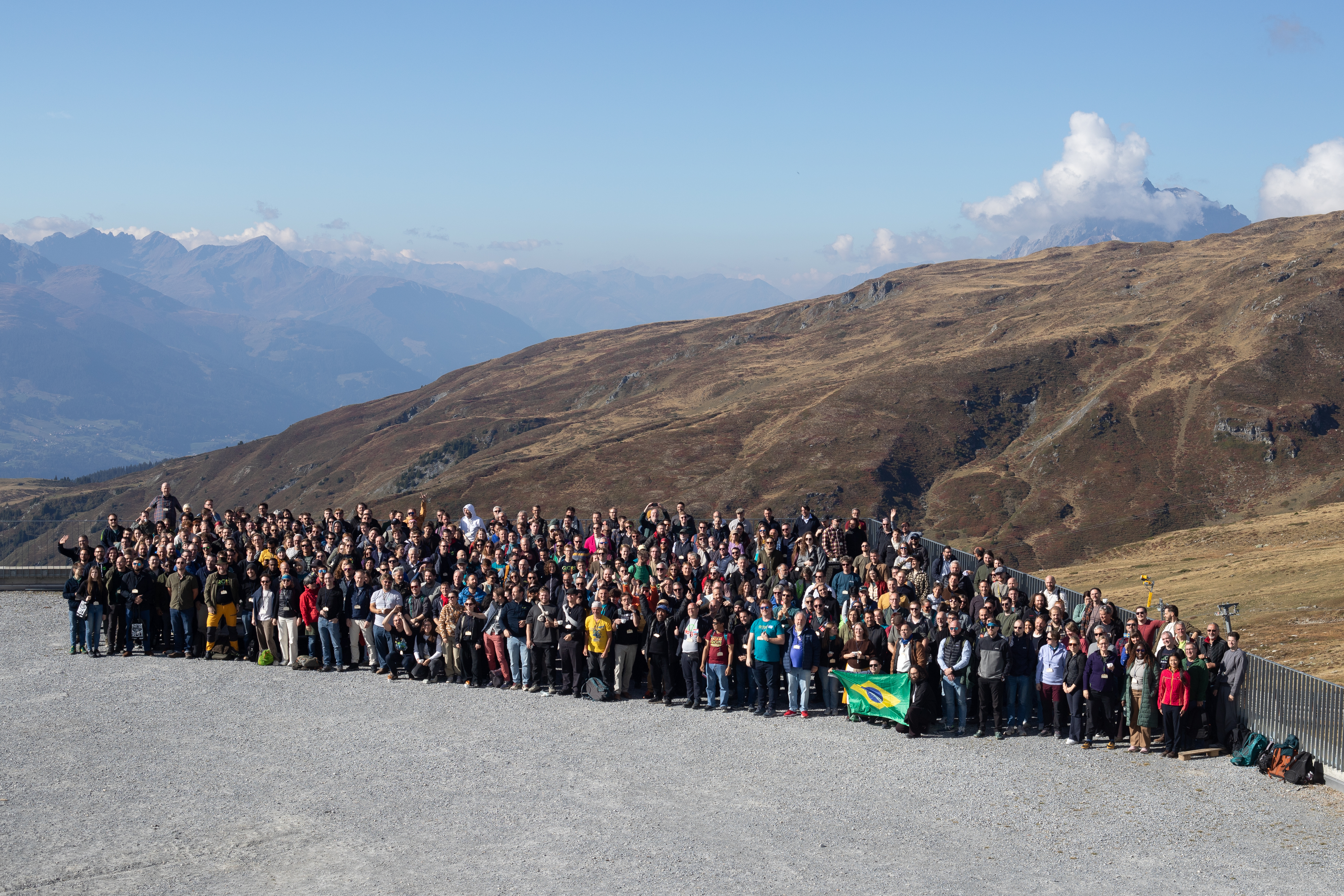
Laax, Switzerland, 10 October 2026. More than 420 people from over 30 countries and five continents gathered in Laax from 4 to 9 October for the QGIS User Conference 2026, the largest event ever held on Crap Sogn Gion at 2222 metres above sea level.
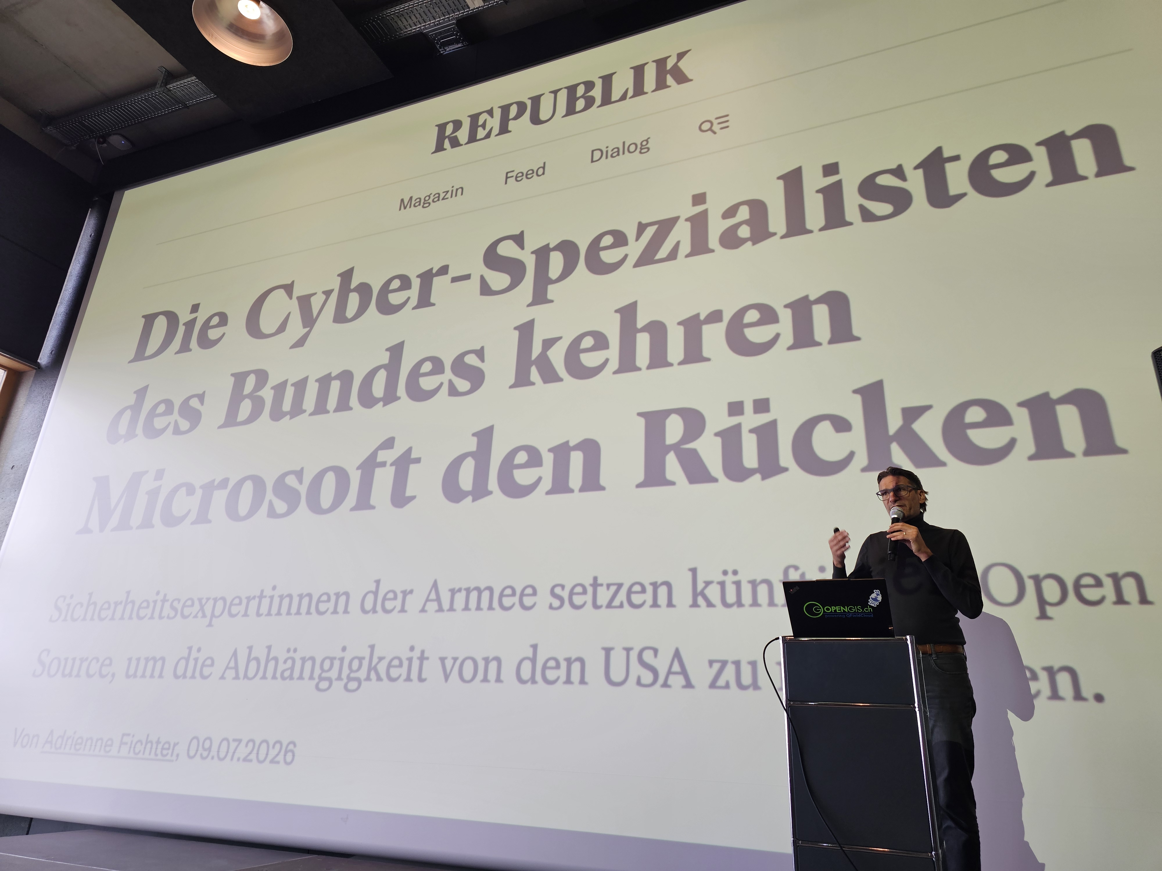
Two conference days at the Galaaxy venue carried around 90 talks and six keynotes. Swiss MP Gerhard Andrey opened with Switzerland’s turn towards open source, ETH Zurich cartography professor Lorenz Hurni spoke on maps as instruments of power, Anita Graser on AI in the QGIS ecosystem, and Johannes Kanonier on fifteen years of QGIS at the State of Vorarlberg. Ivan Minčík, Lova Andriarimalala and Tim Sutton made the case for sustaining the infrastructure the whole project depends on. Twelve short hands-on workshops ran alongside the talks across those two days.
Wednesday brought ten full-day workshops in the valley with 120 participants, ranging from point clouds and data processing to plugin development, workflow automation, team collaboration and field data infrastructure with QFieldCloud and Mergin Maps, alongside the QField Day, where 71 participants mapped the area around Laax in guided groups using QField, the mobile companion app born a few kilometres away in Sagogn. From Wednesday to Friday the 29th QGIS Contributor Meeting put developers, documenters and translators around the same tables to work on the software itself.
The recurring theme of the week was what happens when decision makers and developers share a room.
Procurement officers, cantonal GIS leads, researchers and core developers spent three days in the same
corridors, and the conversations that followed are the kind that rarely happen over a mailing list.
“Digital sovereignty is not a slogan, it is what you get when the people who fund the software and
the people who build it actually meet. That is what this week was for.” Marco Bernasocchi, Chair,
QGIS.org Association
OPENGIS.ch was the lead organiser of the conference, together with QGIS.org and QGIS Switzerland. The
week was made possible by its sponsors, whose support kept ticket prices within reach of public bodies and
students alike: Happy Survey on platinum, EBP and Lutra Consulting on gold, Arx iT, Ocean Winds and the
Province of South Holland on silver, together with the bronze sponsors and supporters. The conference was also financially supported by QGIS.org using funds provided by its donors and sustaining members.
About QGIS
QGIS is a free and open source geographic information system for creating, editing, analysing and publishing
spatial data. It runs on desktop, server, web and mobile, is released under the GNU General Public License, and
is used worldwide by public administrations, companies, universities and NGOs. It is built by an international
community of volunteers and companies and governed by the QGIS.org Association. qgis.org