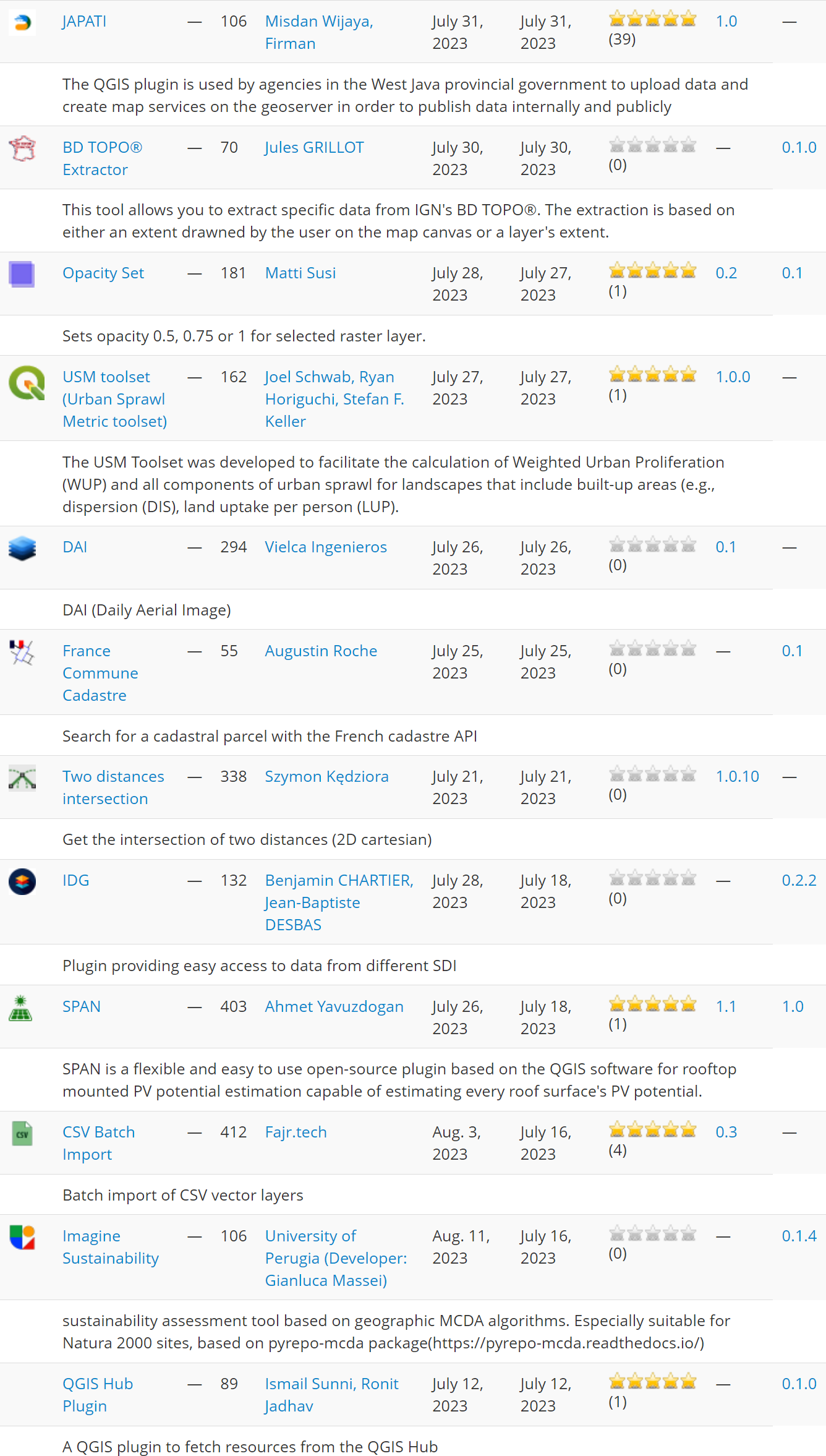
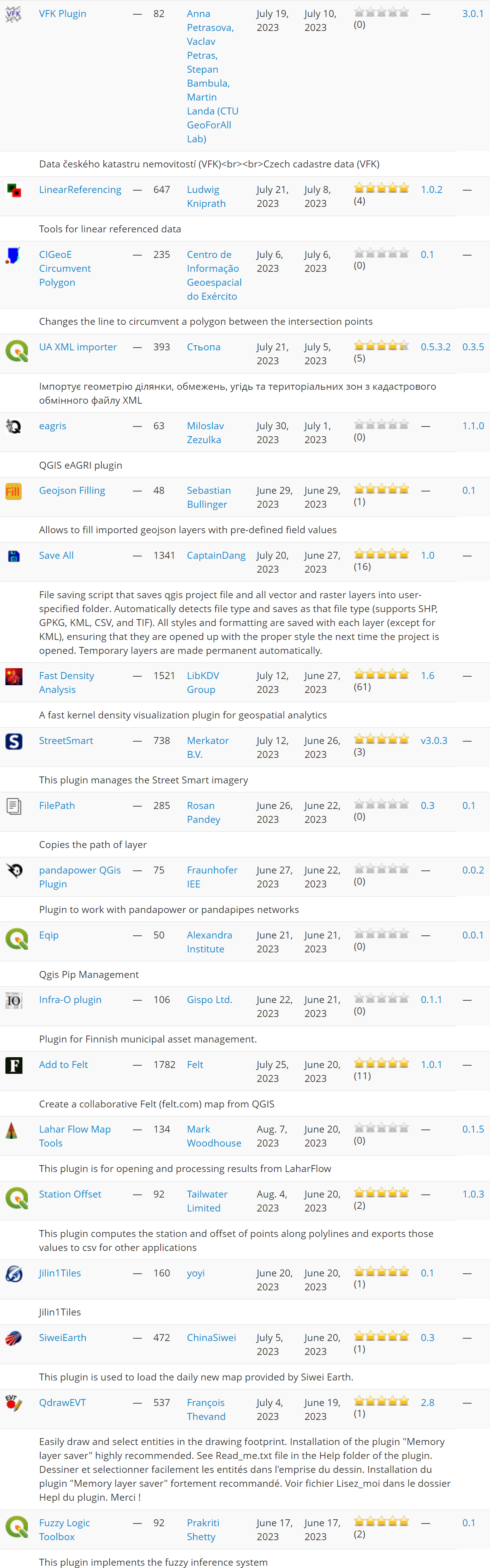
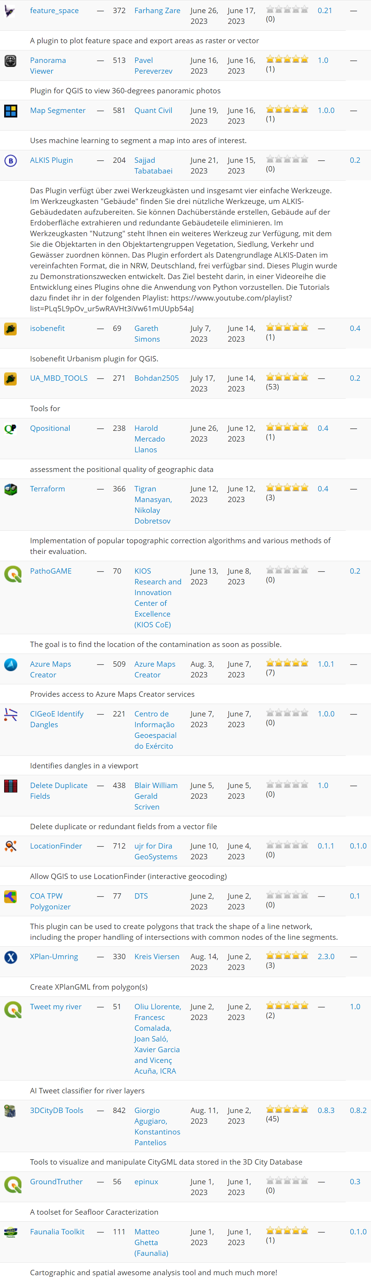
In this summer plugin update, we explore 51 new plugins that have been published in the QGIS plugin repository.
Here’s the quick overview in reverse chronological order. If any of the names or short descriptions piques your interest, you can find the direct link to the plugin page in the table below the screenshot.
| JAPATI |
| The QGIS plugin is used by agencies in the West Java provincial government to upload data and create map services on the geoserver in order to publish data internally and publicly |
| BD TOPO® Extractor |
| This tool allows you to extract specific data from IGN’s BD TOPO®. The extraction is based on either an extent drawned by the user on the map canvas or a layer’s extent. |
| Opacity Set |
| Sets opacity 0.5, 0.75 or 1 for selected raster layer. |
| USM toolset (Urban Sprawl Metric toolset) |
| The USM Toolset was developed to facilitate the calculation of Weighted Urban Proliferation (WUP) and all components of urban sprawl for landscapes that include built-up areas (e.g., dispersion (DIS), land uptake per person (LUP). |
| DAI |
| DAI (Daily Aerial Image) |
| France Commune Cadastre |
| Search for a cadastral parcel with the French cadastre API |
| Two distances intersection |
| Get the intersection of two distances (2D cartesian) |
| IDG |
| Plugin providing easy access to data from different SDI |
| SPAN |
| SPAN is a flexible and easy to use open-source plugin based on the QGIS software for rooftop mounted PV potential estimation capable of estimating every roof surface’s PV potential. |
| CSV Batch Import |
| Batch import of CSV vector layers |
| Imagine Sustainability |
| sustainability assessment tool based on geographic MCDA algorithms. Especially suitable for Natura 2000 sites, based on pyrepo-mcda package(https://pyrepo-mcda.readthedocs.io/) |
| QGIS Hub Plugin |
| A QGIS plugin to fetch resources from the QGIS Hub |
| VFK Plugin |
| Data českého katastru nemovitostí (VFK)<br><br>Czech cadastre data (VFK) |
| LinearReferencing |
| Tools for linear referenced data |
| CIGeoE Circumvent Polygon |
| Changes the line to circumvent a polygon between the intersection points |
| UA XML importer |
| Імпортує геометрію ділянки, обмежень, угідь та територіальних зон з кадастрового обмінного файлу XML |
| eagris |
| QGIS eAGRI plugin |
| Geojson Filling |
| Allows to fill imported geojson layers with pre-defined field values |
| Save All |
| File saving script that saves qgis project file and all vector and raster layers into user-specified folder. Automatically detects file type and saves as that file type (supports SHP, GPKG, KML, CSV, and TIF). All styles and formatting are saved with each layer (except for KML), ensuring that they are opened up with the proper style the next time the project is opened. Temporary layers are made permanent automatically. |
| Fast Density Analysis |
| A fast kernel density visualization plugin for geospatial analytics |
| StreetSmart |
| This plugin manages the Street Smart imagery |
| FilePath |
| Copies the path of layer |
| pandapower QGis Plugin |
| Plugin to work with pandapower or pandapipes networks |
| Eqip |
| Qgis Pip Management |
| Infra-O plugin |
| Plugin for Finnish municipal asset management. |
| Add to Felt |
| Create a collaborative Felt (felt.com) map from QGIS |
| Lahar Flow Map Tools |
| This plugin is for opening and processing results from LaharFlow |
| Station Offset |
| This plugin computes the station and offset of points along polylines and exports those values to csv for other applications |
| Jilin1Tiles |
| Jilin1Tiles |
| SiweiEarth |
| This plugin is used to load the daily new map provided by Siwei Earth. |
| QdrawEVT |
| Easily draw and select entities in the drawing footprint. Installation of the plugin “Memory layer saver” highly recommended. See Read_me.txt file in the Help folder of the plugin. Dessiner et selectionner facilement les entités dans l’emprise du dessin. Installation du plugin “Memory layer saver” fortement recommandé. Voir fichier Lisez_moi dans le dossier Hepl du plugin. Merci ! |
| Fuzzy Logic Toolbox |
| This plugin implements the fuzzy inference system |
| feature_space |
| A plugin to plot feature space and export areas as raster or vector |
| Panorama Viewer |
| Plugin for QGIS to view 360-degrees panoramic photos |
| Map Segmenter |
| Uses machine learning to segment a map into ares of interest. |
| ALKIS Plugin |
| Das Plugin verfügt über zwei Werkzeugkästen und insgesamt vier einfache Werkzeuge. Im Werkzeugkasten “Gebäude” finden Sie drei nützliche Werkzeuge, um ALKIS-Gebäudedaten aufzubereiten. Sie können Dachüberstände erstellen, Gebäude auf der Erdoberfläche extrahieren und redundante Gebäudeteile eliminieren. Im Werkzeugkasten “Nutzung” steht Ihnen ein weiteres Werkzeug zur Verfügung, mit dem Sie die Objektarten in den Objektartengruppen Vegetation, Siedlung, Verkehr und Gewässer zuordnen können. Das Plugin erfordert als Datengrundlage ALKIS-Daten im vereinfachten Format, die in NRW, Deutschland, frei verfügbar sind. Dieses Plugin wurde zu Demonstrationszwecken entwickelt. Das Ziel besteht darin, in einer Videoreihe die Entwicklung eines Plugins ohne die Anwendung von Python vorzustellen. Die Tutorials dazu findet ihr in der folgenden Playlist: https://www.youtube.com/playlist?list=PLq5L9pOv_ur5wRAVHt3iVw61mUUpb54aJ |
| isobenefit |
| Isobenefit Urbanism plugin for QGIS. |
| UA_MBD_TOOLS |
| Tools for |
| Qpositional |
| assessment the positional quality of geographic data |
| Terraform |
| Implementation of popular topographic correction algorithms and various methods of their evaluation. |
| PathoGAME |
| The goal is to find the location of the contamination as soon as possible. |
| Azure Maps Creator |
| Provides access to Azure Maps Creator services |
| CIGeoE Identify Dangles |
| Identifies dangles in a viewport |
| Delete Duplicate Fields |
| Delete duplicate or redundant fields from a vector file |
| LocationFinder |
| Allow QGIS to use LocationFinder (interactive geocoding) |
| COA TPW Polygonizer |
| This plugin can be used to create polygons that track the shape of a line network, including the proper handling of intersections with common nodes of the line segments. |
| XPlan-Umring |
| Create XPlanGML from polygon(s) |
| Tweet my river |
| AI Tweet classifier for river layers |
| 3DCityDB Tools |
| Tools to visualize and manipulate CityGML data stored in the 3D City Database |
| GroundTruther |
| A toolset for Seafloor Caracterization |
| Faunalia Toolkit |
| Cartographic and spatial awesome analysis tool and much much more! |
